
NovAtel Oceanix Correction Services
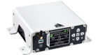
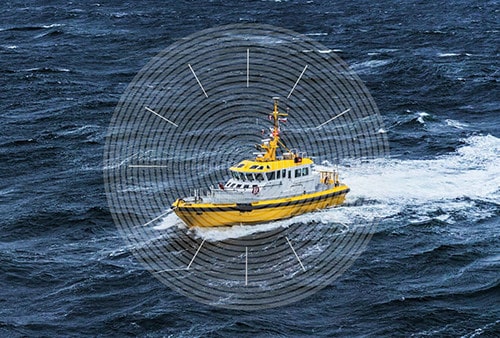
Oceanix Correction Services from NovAtel deliver sub-decimeter positioning for diverse nearshore marine applications including dredging, hydrographic survey and mapping. For users desiring a complete solution, the MarinePak7 is a GNSS+INS receiver built ready to receive Oceanix nearshore correction services.
The high rate of corrections facilitate carrier phase ambiguity resolution within the GNSS receiver. Integrating this process within the receiver enhances the accuracy and speeding recovery from GNSS signal interruptions.
Oceanix includes precise GNSS clock and orbit correction data providing high sub-decimeter solutions worldwide with 3 cm horizontal and 8 cm vertical accuracy (95%) up to 60 km offshore.
Oceanix is offered with multiple subscription durations designed to meet the unique needs of marine nearshore applications, including dredging and hydrographic survey.
Features
- Proprietary network with over 100 global GNSS reference stations globally
- Corrections data delivered via geostationary satellites for worldwide coverage
- Multiple GNSS constellations
- Supported on all OEM7 platforms
- Control over entire data generation process
- Customer support for the entire positioning solution